MichiganView
MichiganView develops and coordinates remote sensing education and outreach activities for students of all ages.
MichiganView maintains a directory of useful remote sensing resources, including software tutorials, imagery archives, and research publications.

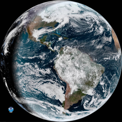
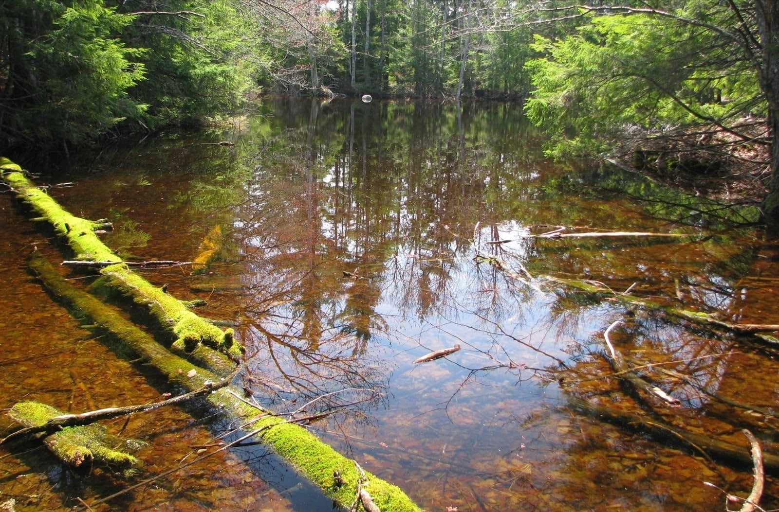
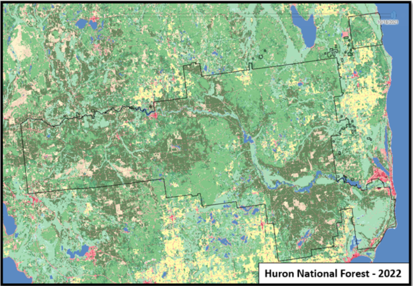
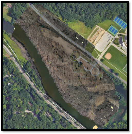
MichiganView provides access to imagery and data for Michigan and the Great Lakes.